We have all heard of storm surge, usually associated with a frantic news anchor talking about an upcoming hurricane. But, what is a storm surge and how will it affect you?
First, we must talk a little bit about weather facts and details. Weather is influenced by two opposing forces, low-pressure systems, and high-pressure systems. Hurricanes are low-pressure systems. Cold fronts are associated with the high-pressure system.

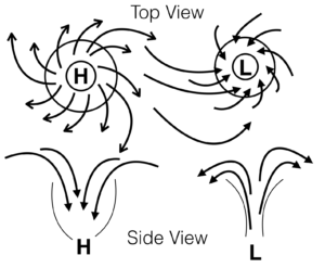
The diagram shows a low and high-pressure system from a top view and a side view to demonstrate the direction of air flow.
High-pressure systems typically indicate clearing skies and low-pressure systems usually equate to rain. The other thing to note is that Low-Pressure systems work like an upside down funnel, the warm air rises in the center where a high-pressure system is the opposite, the air falls in the middle of it.
The reason that hurricanes and tropical storms happen near the equator and die out as they go further from it is that the air and water are warmer at the equator. The more heated air helps to lift more and more air higher causing a faster rotation. This lifting air is what creates gusts as the air goes high up in the center of a low-pressure system and then falls to the outside of it in a counterclockwise direction.
These two systems behave differently in the Northern and Southern Hemispheres. For the sake of this example, we will discuss storms in the northern hemisphere. When you have a high-pressure system, the air circulates in a clockwise direction. Conversely, in the northern hemisphere, low-pressure systems rotate counterclockwise. If you are wondering, the systems turn the opposite direction in the Southern Hemisphere Low-pressure systems can form into tropical depressions, tropical storms, and hurricanes. These storms can be hundreds of miles in diameter.
 To demonstrate this, fill a wide-mouthed glass with water and set it on the table. Gently blow with your mouth relatively level to the top of the glass. You will notice that the water furthest from your blowing will be higher on the rim of the glass than the side closest to your mouth. Doing so is a good visual representation of what the wind does when it blows across the surface of the ocean.
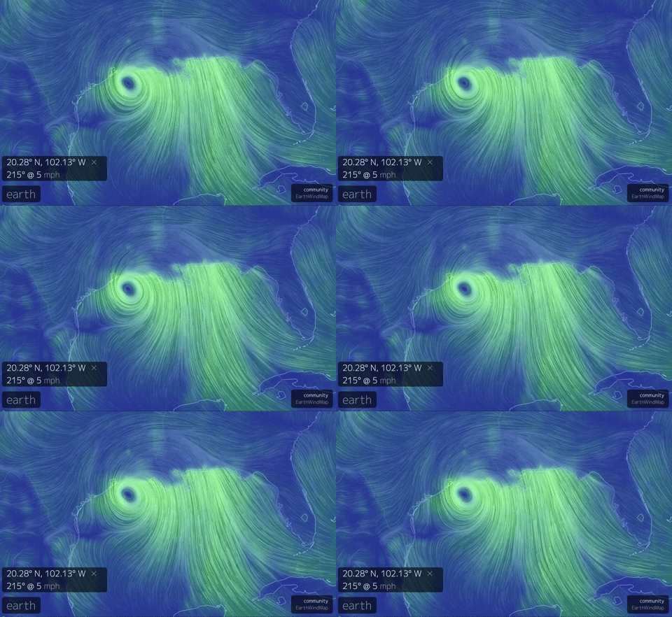
Once you know what is happening in the atmosphere during these low-pressure systems, it becomes easier to understand what storm surge is. A storm surge is essentially the tide rising higher than normal due to  the wind. Not just any wind, it is the wind that blows for days at a time for hundreds of miles across the ocean toward land. It is also good to note that the danger zone for a tropical depression, storm or hurricane is not where the eye will hit. Often it is to the north and east of that position that sustains the most damage. The animated gif of the weather data is an excellent illustration as to why.
If you haven’t seen the website that animates wind, waves, and particles in the air, check out earth.nullschool.net. It is an excellent way to visualize the weather anywhere in the world.
Tropical Storm Cindy formed in the Gulf of Mexico just north of the Yucatan Peninsula. It traveled north very slowly. As storms go, it was weak and never made it to hurricane strength. However, It moved slow, and it pushed a lot of water inland. The water went over the docks at our marina and we prepared by securing dock boxes and moving cars to higher ground. Deb and the girls stayed on terra-firma for the night, but I stayed on the boat to adjust lines and keep an eye on things. All in all, we were fine, and about 18 hours before landfall we took a drive over to the Mississippi coast to see the shoreline.
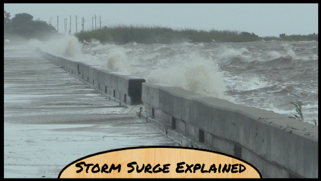
For a more in-depth description of what storm surge is, and to see how high we rose 40 miles inland from it, check out the video below. The video also shows the shoreline and Mother Nature’s awesome power, even when she is just playing gently.
This article was also posted on Medium.com

