I am really beginning to dislike you, Harvey!. I know it is not right to talk bad to others, but frankly, “Screw you very much, Harvey.” For those that don’t know who Harvey is, he was a tropical depression that started way out in the Atlantic east of Barbados on August 17th. The wind speed was about 40 knots and gained strength at it went across Barbados heading west and then passed just north of Grenada and carried out across the Caribbean Sea. He steered south of Jamaica still heading west toward the Yucatan peninsula but lost strength.
As he traveled over land in Mexico’s Yucatan peninsula, he did what most good storms do, he died down and lost power. We all thought he had a decent run, but then he started to curve north and into the warm water of the Gulf of Mexico. The hot air and water from the Gulf of Mexico are like nitrous oxide in a race car. Harvey bowed out his chest and feeling strong, set his eyes on attacking the south coast of Texas. It has been a full week since Harvey first made an appearance out there in the Atlantic and now a week later, he was graduating from a tropical storm to a category one hurricane. The worst part is that Harvey was moving slowly north which meant he had more time to gain intensity fueled by the warm Gulf of Mexico. And gain strength he did. He was lined up to make direct contact into Corpus Christi Texas. As the days progressed, he was forecasted to continue to increase strength, and as Thursday turned to Friday, he was producing winds more than 100 mph. By Friday at 4 pm Harvey was whipping in excess of 120 mph and forecasted to be a category four hurricane at landfall early on Saturday.
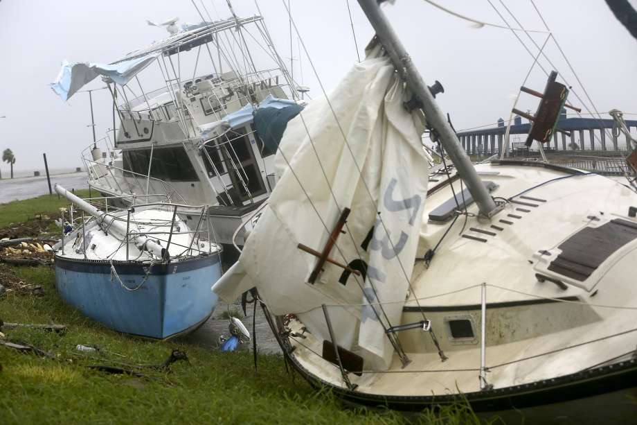 Harvey hit the barrier islands of Rockport and Port Aransas late Friday night and Early Saturday. Rockport had severe damage with most marinas destroyed by his 135 miles per hour winds. To top it off the forecast kept getting worse. Harvey was predicted to drop between 30 and 50 inches of rain as it was going to stall forward progress and just sort of loop around between Corpus Christi and San Antonio.
Because of the size of this storm and the counter clockwise rotation of low-pressure systems, the dangerous surge is also felt hundreds of miles to the east and north of where the hurricane makes landfall. That put the surge effects right into Galveston Bay and our old stomping grounds. Thankfully we sailed the Gulfstar from Clear Lake to New Orleans this time last year, so she was not in the direct path of Harvey’s storm surge. While Corpus Christi is feeling the impact of a category four hurricane direct hit from wind damage, rainfall, and storm surge, so does Kemah and the entire Clear Lake area of Texas.
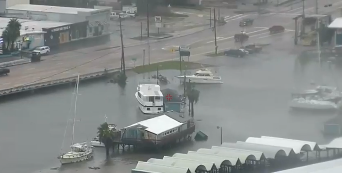
I have some friends that rode out the storms on their boats in Boardwalk marina in Kemah, another in Watergate marina in League City and yet another in Seabrook. We have friends in Taylor Lake, Kemah and Clear Lake Shores and Santa Fe. They have reported anywhere from the water just coming in the door of the house all the way to two friends with 5 feet of water in their homes.
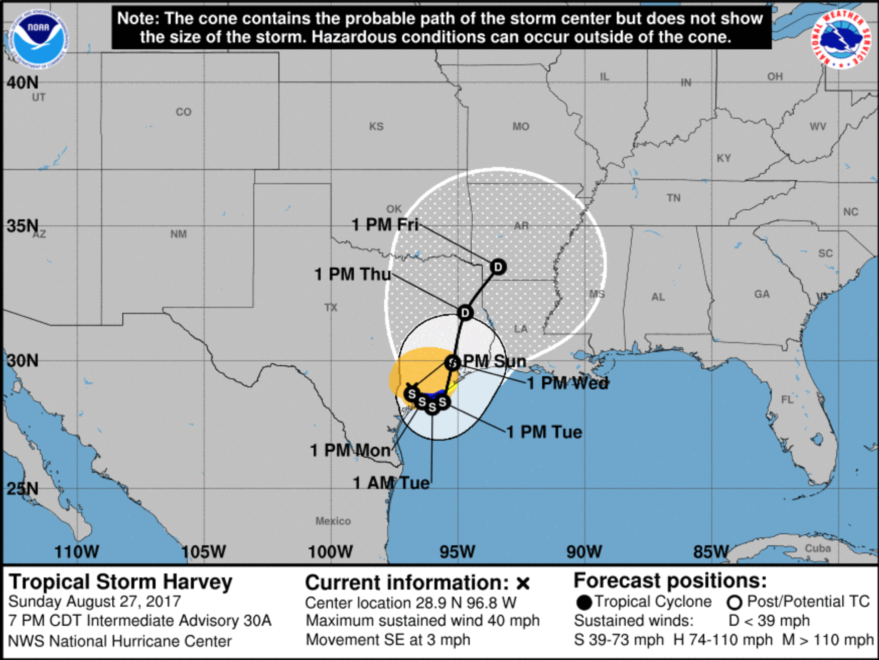
So this week, 13 days after Harvey first appeared, it is forecasted to return to the gulf and head East.
And now the track is looking like it may loop back down and hit the Gulf of Mexico again tomorrow. That will yet again add fuel to the storm and will likely have it intensify. If it starts to head east, we may be impacted by this storm surge here where we are in the New Orleans area. The good news is that Harvey won’t have been sitting in the Gulf pushing all that water up into New Orleans for days, so hopefully, the surge won’t be as bad as it could be. For a great explanation and video of storm surge, see our blog post and youtube video explaining what causes storm surge and the danger zones for low-pressure systems.
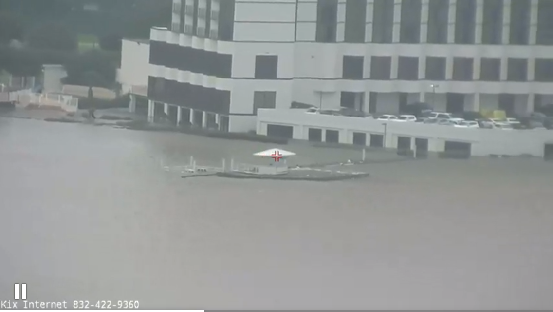
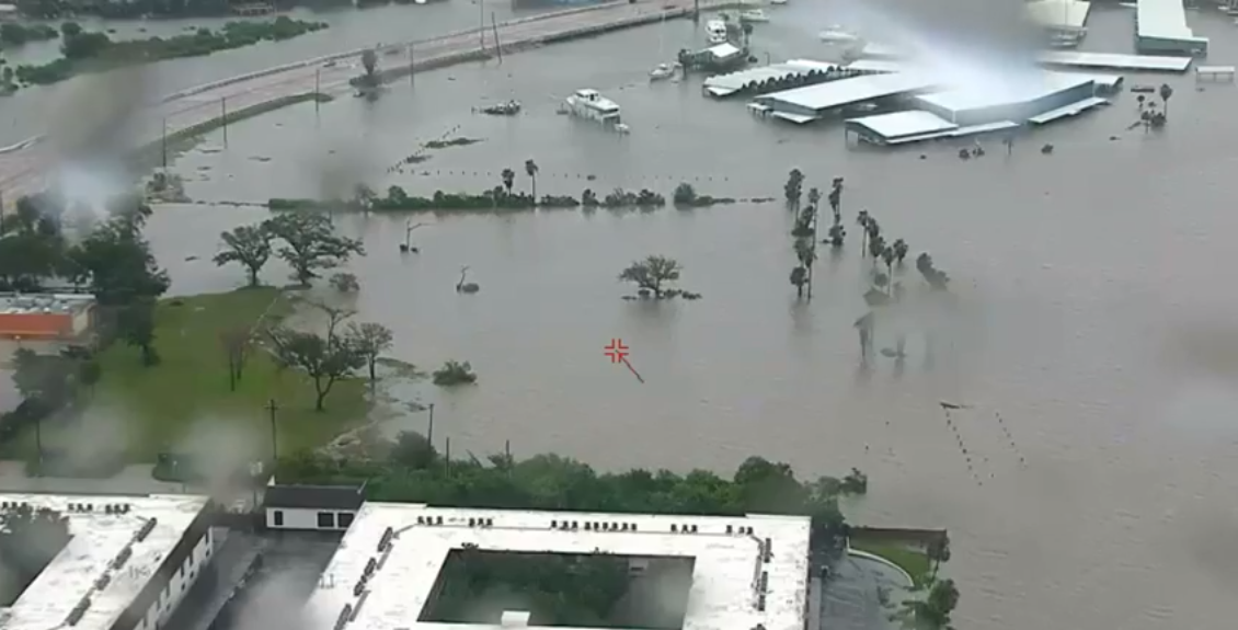
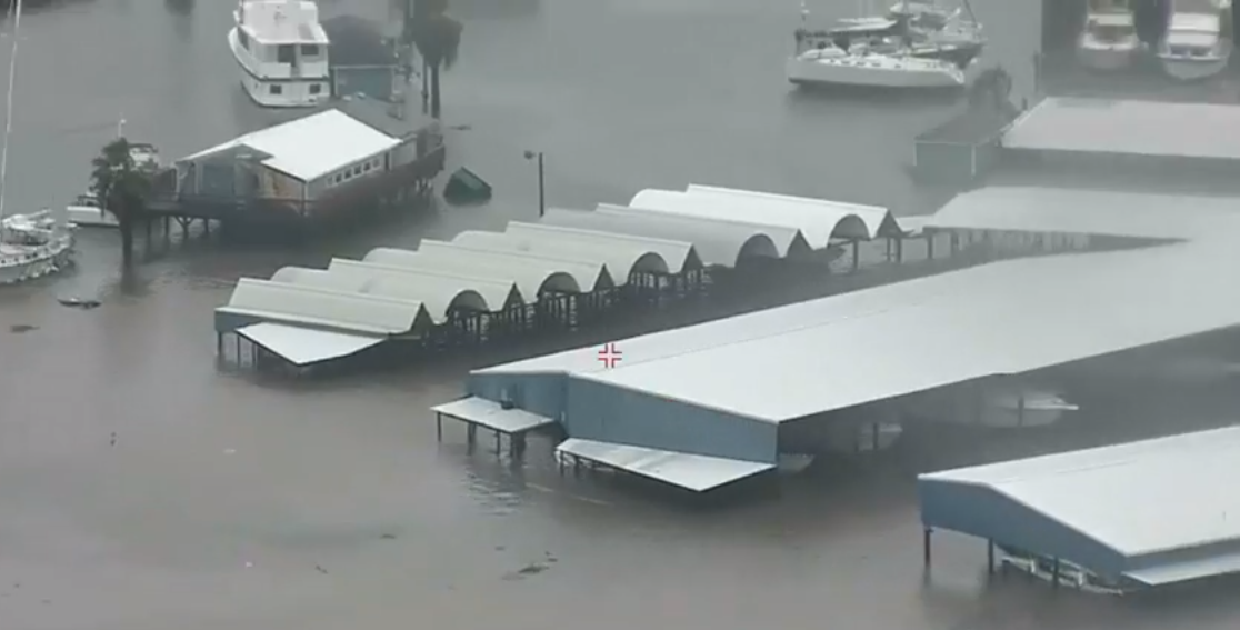
Below are several pictures around Clear Lake For those familiar with the area, you will recognize just how high this water is. I have never seen it this high in the time we lived there. (The images below were from a webcam online, Thank you Jim Beerstetcher)
So I feel pretty confident in my opening statement. “Screw you, Harvey. I respect you, but Screw you very much, Harvey!”


